Arctic Circle Sign Alaska: Where It Is & How to Visit
The Arctic Circle sign in Alaska stands at Dalton Highway milepost 115, about 200 miles from Fairbanks. What is at the BLM wayside and how to get there.
The Arctic Circle sign in Alaska stands at the BLM Arctic Circle Wayside, Dalton Highway milepost 115, about 200 road miles north of Fairbanks (199 by the BLM mileage chart). It marks latitude 66°33′ N, and the wayside around it has a wooden viewing deck with interpretive panels, two picnic tables, two pit toilets, parking and no cell service. Most visitors get there on a guided day trip; the Arctic Circle tours from Fairbanks run year-round in 12 to 18 hour days, mostly in a van on gravel. Drivers need a vehicle allowed on the Dalton and a plan for fuel.
Check Availability
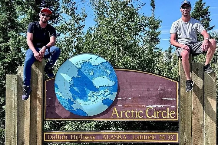
Arctic Circle Day Tour
- 4.7/5 (731 reviews)
- 13 hours
- Operated by Alaska Wild Lights
Includes Local driver-guide · Hotel pickup and drop-off within Fairbanks city limits · Personalized Arctic Circle certificate
You'll choose your date and complete the booking on Viator.
Same tour, also on GetYourGuide
From $335 per person · ★ 4.6 from 5 GetYourGuide reviews
Each platform sets its own price and collects its own reviews, so compare both before you book on Viator.
Where the sign is
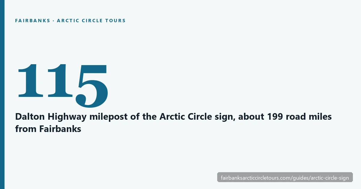
The wayside sits on the Dalton Highway at milepost 115, measured from the start of the highway near Livengood. A short side road leads off the highway to the sign. BLM gives its coordinates as 66.5558° N, 150.8108° W.
| From | Road miles to the sign | Notes |
|---|---|---|
| Fairbanks | 199 | BLM mileage chart; about 5 hours one way under good conditions |
| Start of the Dalton Highway | 115 | Pavement ends at the junction, 84 miles from Fairbanks |
| Yukon River (milepost 56) | 59 | Nearest fuel and food |
| Finger Mountain (milepost 98) | 17 | Tundra trail and tors |
| Coldfoot (milepost 175) | 60 | Next services to the north |
BLM’s planning time is 5 hours each way under good conditions, plus 1 to 2 hours a day for stops, construction and weather. That is why the guided tours take a full day. The Fairbanks to Arctic Circle guide has the whole route.
What is at the Arctic Circle Wayside
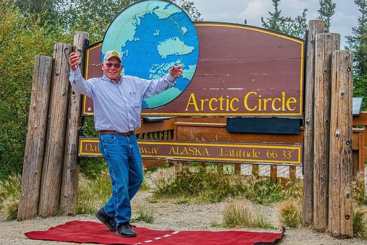
The sign is the reason everyone stops, and BLM describes it as an opportunity for photographs. Here is what you find there, and what is up the hill at the campground.
| Feature | Arctic Circle Wayside (at the sign) | Arctic Circle Campground (uphill) |
|---|---|---|
| Arctic Circle sign | Yes | No |
| Viewing deck | Wooden deck with interpretive panels | No |
| Toilets | 2 accessible single-stall pit toilets | 2 vault toilets |
| Picnic tables | 2, wheelchair accessible | Yes |
| Parking | About 20 vehicles | 19 sites |
| Camping | Not allowed | $12 a night, first come, first served |
| Drinking water | No | No |
| Cell service | None | None |
| Season | Highway open year-round | About mid-May to end of September |
The campground is about half a mile (the BLM guide) to 0.7 mile (the wayside page) uphill to the east of the sign. It has 19 sites, fire rings, bear-resistant food lockers and a camp host in season, with payment through Recreation.gov Scan & Pay. There is no water or electricity, so carry what you need.
The paths are gravel, and BLM notes that the northern lights can be seen from the wayside in winter.
Other Experiences
Other experiences you might enjoy
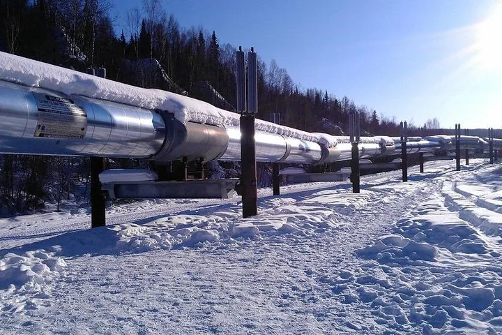
The Arctic Circle sign caps a day on the Dalton Highway past the Yukon River and Finger Mountain; Fairbanks also offers aurora tours and Chena Hot Springs trips.
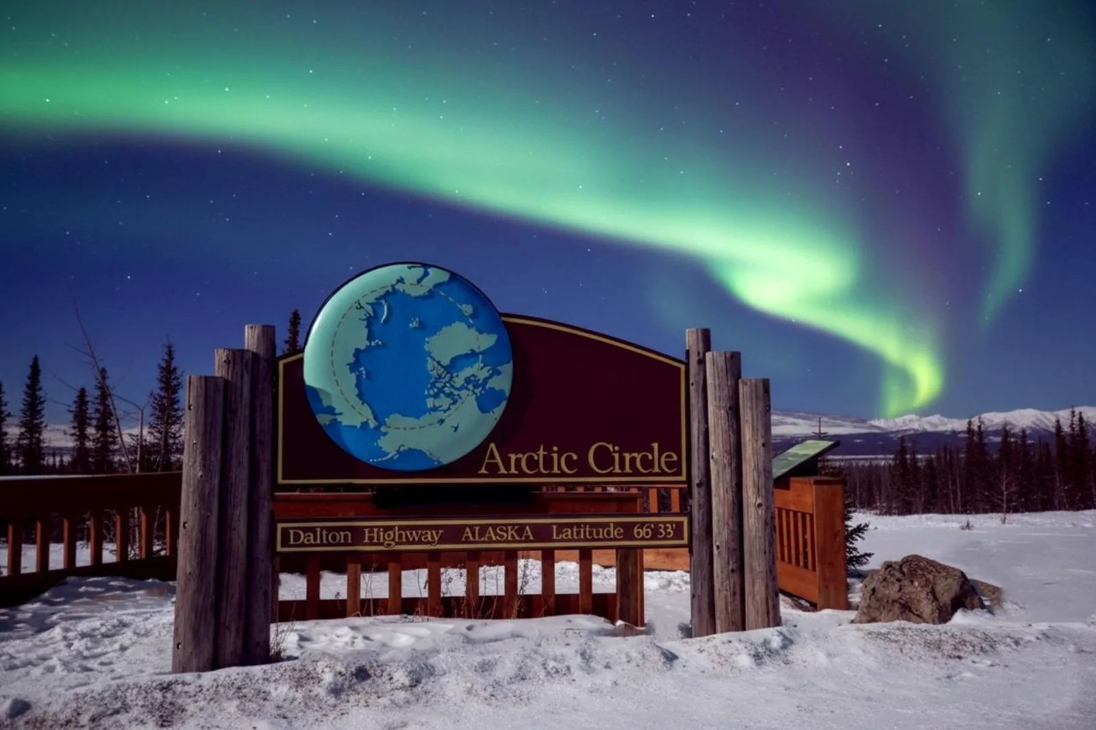
How to visit: tour or drive
Most people come on a guided tour. The Arctic Circle Day Tour from Alaska Wild Lights includes hotel pickup within Fairbanks city limits, snacks and a personalized certificate, and its GetYourGuide listing describes standing beneath the sign marking latitude 66°33′. The Arctic Circle & Northern Lights – Dalton Highway Tour spends time at the sign before an aurora watch on the way home, and the Arctic Circle with Aurora and Free Photos lists the sign among its photo stops. Read our review of the Arctic Circle Day Tour for how the day runs.
Driving yourself is possible. BLM warns that many rental car agreements prohibit the Dalton and other gravel roads, so check your contract or rent from a company that allows it. Fuel up in Fox or at Hilltop, then again at Yukon River Camp, the only fuel before the sign. BLM advises independent drivers against travel between late October and early April. Our self-drive vs tour guide covers rentals and safety.
The sign is not exactly on the line
The sign reads 66°33′ N, the figure BLM uses for the Arctic Circle. The real circle moves, though. Its latitude depends on the tilt of Earth’s axis, which shifts slowly, and the circle is drifting north by roughly 48 feet a year. Today it sits at about 66°33′50″, which puts the sign roughly half a mile south of the current line. You are still in the right place for the photo; you just cross the line itself a short way up the road.
At this latitude the sun does not set on the summer solstice, around 21 June, and does not rise on the winter solstice, around 21 December. On every other day you get a normal sunrise and sunset, long or short. Even in late December the sun barely clears the horizon at midday, so the sign is not in total darkness. To see the midnight sun on the solstice, BLM suggests climbing the hill east of Gobblers Knob at milepost 132, 17 miles farther north.
Getting the photo
Expect to share the sign: the lot holds about 20 vehicles, so take your turn and use the viewing deck while you wait. If you want a photo without handling a camera in the cold, the Arctic Circle with Aurora and Free Photos includes free professional photography. In winter, keep your phone in an inside pocket until you need it, because batteries die quickly in the cold. With no cell service at the wayside, your pictures will upload once you are back in coverage. For layers and battery tips, see what to wear on an Arctic Circle tour.
Frequently asked questions
Where is the Arctic Circle sign in Alaska?
At the BLM Arctic Circle Wayside on the Dalton Highway, milepost 115, about 200 road miles north of Fairbanks, at 66.5558° N, 150.8108° W.
How far is the Arctic Circle sign from Fairbanks?
199 road miles by the BLM mileage chart, about 5 hours each way under good conditions before stops.
Can you camp at the Arctic Circle sign?
Not at the wayside. The BLM Arctic Circle Campground is about half a mile uphill, with 19 sites at $12 a night, open roughly mid-May to the end of September.
Is there cell service at the Arctic Circle sign?
No. BLM states there is no cell phone reception at the wayside, and coverage is very limited along the Dalton Highway.
Do you get a certificate at the Arctic Circle sign?
There is no certificate office at the sign. Most tours include one, and self-drivers can pick one up free at the Morris Thompson Cultural and Visitors Center in Fairbanks. See the Arctic Circle certificate guide.
Ready to book?
To stand at milepost 115 without driving the Dalton yourself, compare departures on the Arctic Circle day tours page or check live availability.
Cross the Arctic Circle This Season
The Dalton Highway by day, the 66°33′ sign by evening and an aurora watch on the drive back to Fairbanks.
Check Availability & Book