Dalton Highway from Fairbanks: What the Drive Is Really Like
Mostly gravel, busy with oilfield trucks, three fuel stops in 414 miles and almost no cell service. The Fairbanks-to-Arctic Circle drive, milepost by milepost.
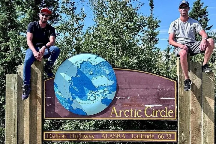
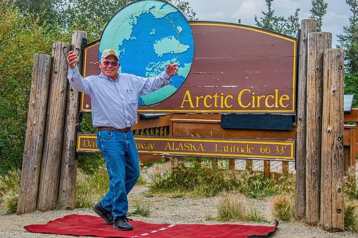
The Dalton Highway from Fairbanks is a narrow, mostly gravel industrial road shared with oilfield trucks, with pavement in patches, fuel at only three places in 414 miles and almost no cell service, and reaching the Arctic Circle sign at milepost 115 takes about 5 hours from Fairbanks under good conditions. You get there on the paved Elliott Highway via Fox, then turn onto the Dalton near Livengood. Most visitors ride it on a guided tour from our Fairbanks Arctic Circle tours comparison, which leaves the gravel, trucks and fuel planning to a professional driver.
Check Availability
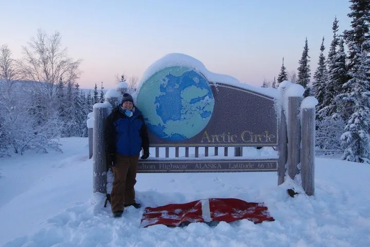
Arctic Circle Winter Drive Adventure
- 4.9/5 (166 reviews)
- About 16 hours
- Operated by Northern Alaska Tour Company
Includes Professional driver-guide · Live commentary on board throughout the day · Official Arctic Circle Adventure Certificate
You'll choose your date and complete the booking on Viator.
The route north from Fairbanks
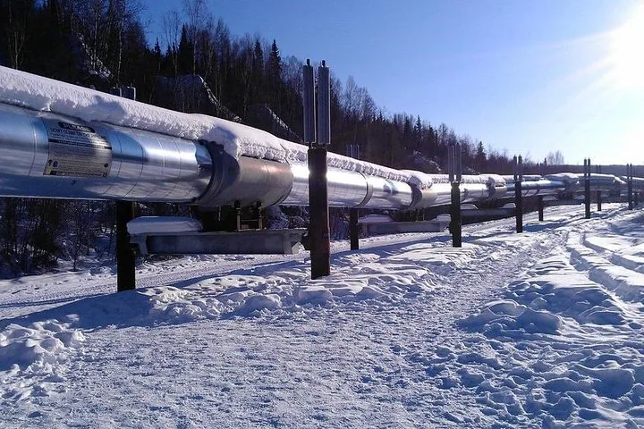
The trip starts on pavement. You head north out of Fairbanks on the Steese Expressway to Fox, 11 miles out, passing the Alyeska pipeline viewpoint at Steese mile 8.4. At Fox the Elliott Highway begins and climbs through rolling hills and spruce for 73 paved miles, past the Hilltop Truck Stop at mile 5.5 and the hamlet of Joy at mile 49.5.
At Elliott mile 73.1, near Livengood, the pavement ends and the Dalton Highway starts. Its mileposts count from here, 84 road miles from Fairbanks. From MP 0 it is 56 miles to the Yukon River, another 42 to Finger Mountain and 17 more to the Arctic Circle Wayside at MP 115. The road keeps going: 414 miles in total to Deadhorse, the industrial camp at Prudhoe Bay. The plan for a day tour is out and back as far as the circle.
| Stop | Milepost | Miles from Fairbanks | What is there |
|---|---|---|---|
| Fox | Steese MP 11 | 11 | Start of the Elliott Highway |
| Hilltop Truck Stop | Elliott 5.5 | about 16 | Food and fuel |
| Joy | Elliott 49.5 | about 60 | Arctic Circle Trading Post |
| Dalton junction | Elliott 73.1 / Dalton MP 0 | 84 | Pavement ends |
| Hess Creek Overlook | Dalton MP 21 | about 105 | View over a 2003 burn |
| Yukon River bridge and camp | Dalton MP 56 | 140 | Fuel, food, rooms, viewing deck |
| Five Mile Campground | Dalton MP 60 | about 144 | Water, dump station |
| Finger Mountain Wayside | Dalton MP 98 | about 182 | Tors, half-mile trail, toilets |
| Arctic Circle Wayside | Dalton MP 115 | 199 | Sign, deck, toilets, picnic tables |
| Coldfoot | Dalton MP 175 | 259 | Fuel, cafe, lodging, visitor center |
Gravel, pavement and the road surface
Is the Dalton paved? Partly. The BLM describes it as “mostly gravel” and “narrow, rough, steep,” with “clouds of dust, slick mud, and sudden potholes.” Pavement runs from MP 37 to 49 and intermittently beyond, so on the way to the circle you get a short smooth stretch and long gravel sections either side. Dust in dry weather and mud after rain are normal, and windshields take chips from passing trucks.
The road climbs and drops over hills the truckers named, among them Sand Hill at MP 73, the Roller Coaster at MP 75 and the Beaver Slide at MP 110, just before the circle. In winter the surface is packed snow and ice.
Other Experiences
Other experiences you might enjoy
More guided trips up the Dalton Highway from Fairbanks, crossing the Yukon River and stopping at Finger Mountain and the Arctic Circle sign, including winter versions with an aurora watch.
Trucks, rules of the road and safety
The Dalton was built as the pipeline haul road in 1974, mostly in about five months, and opened to the public in stages between 1981 and 1994. It is still a working road. Alaska’s transportation department says most traffic is commercial trucks hauling fuel, equipment and supplies to the oil fields. The BLM’s rules are simple: big trucks have the right of way, slow down when one passes to avoid flying rocks, and drive with your lights on. Truckers and road crews monitor CB channel 19.
Is it dangerous? The main risk is remoteness. The BLM says this “farthest-north road involves real risks and challenges”: there are no medical facilities in the 500 miles between Fairbanks and Deadhorse, help after a breakdown can take many hours, and snow and ice can appear north of Coldfoot in any month. In winter, windchills reach −70°F, and the US record low, −80°F, was set at Prospect Creek Camp near the road in 1971.
Services and cell coverage
On the Dalton there are only three fuel stops: Yukon River Camp at MP 56, Coldfoot at MP 175 and Deadhorse at MP 414. Between Fairbanks and the Yukon the last fuel is around Fox and the Hilltop Truck Stop, a gap of about 125 road miles. Yukon River Camp also has a restaurant and rooms, and tours often stop there for a meal. A seasonal roadside cafe sits just north of the Yukon.
Cell service is limited from Elliott Highway mile 28 until just outside Deadhorse, and there is no reception at the Arctic Circle Wayside. Expect to be offline for most of the day. There are no banks or grocery stores along the way.
Is the Dalton open year-round?
Yes. The state maintains it all year from seven camps along the corridor, and it does not close in winter. The BLM’s advice to independent drivers is that travel between late October and early April is not advised, and in winter services exist only at Yukon River Camp, Coldfoot and Deadhorse. Guided tours keep running in the dark months; the Arctic Circle Winter Drive Adventure from Northern Alaska Tour Company is a 16-hour day from $309 per person, rated 4.9 from 166 reviews, leaving from the company’s airport East Ramp office (hotel pickup is not included, and all sales are final). Our review of the winter drive has the details, and the winter tours page compares the options.
In summer the same company runs the Original Arctic Circle Drive, and Alaska Wild Lights the 13-hour Arctic Circle Day Tour with hotel pickup. Either way, plan on 12 to 18 hours, mostly in the van on gravel. If you are weighing your own car instead, start with self-drive vs tour.
Frequently asked questions
Is the Dalton Highway paved from Fairbanks to the Arctic Circle?
The Elliott Highway is paved from Fox to the Dalton junction. The Dalton is mostly gravel, paved from MP 37 to 49 and in patches farther north.
How long is the Dalton Highway?
414 miles, from the Elliott Highway near Livengood to Deadhorse. The Arctic Circle sign is at MP 115, 199 road miles from Fairbanks.
Can you drive a rental car on the Dalton?
Many rental agreements prohibit the Dalton and other gravel roads, so check your contract. A few Fairbanks companies rent gravel-permitted vehicles.
Is there cell service on the Dalton Highway?
Very little. Coverage is limited from Elliott mile 28 to near Deadhorse, with service only at Coldfoot and scattered spots.
What should I see between the Yukon and the circle?
Finger Mountain at MP 98, with its granite tors and short trail. The Yukon River guide covers the first stop.
Ready to book?
Compare the guided Dalton trips on our Dalton Highway tours page, or check dates on the homepage.
Cross the Arctic Circle This Season
The Dalton Highway by day, the 66°33′ sign by evening and an aurora watch on the drive back to Fairbanks.
Check Availability & Book