The Yukon River on an Arctic Circle Tour
The Yukon River stop at Dalton Highway milepost 56: the E. L. Patton Bridge, the pipeline crossing, Yukon River Camp and what you do there on an Arctic Circle tour.
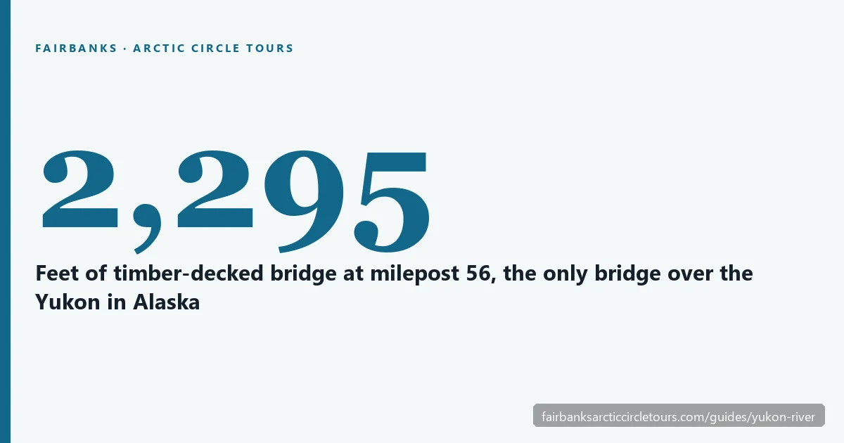
The Yukon River is the first big stop on an Arctic Circle tour, at Dalton Highway milepost 56, about 140 road miles and three hours north of Fairbanks. You cross it on the E. L. Patton Yukon River Bridge, a 2,295-foot timber-decked span that also carries the Trans-Alaska Pipeline and is the only bridge over the Yukon in Alaska. Just north of the bridge, Yukon River Camp is where most tours stop for a meal, a restroom and a walk down to the water. Nearly every one of the Arctic Circle tours from Fairbanks passes this way twice, once going north and once coming home.
Check Availability
Same tour, also on Viator
From $260 per person · ★ 4.6 from 139 Viator reviews
Each platform sets its own price and collects its own reviews, so compare both before you book on GetYourGuide.
The E. L. Patton Yukon River Bridge
The bridge is a sight in its own right. It was built between May 1974 and October 1975 and opened on 10 October 1975, two years before the pipeline started moving oil. It was designed for −60°F and heavy river ice. In 1982 the Alaska Legislature named it for Edward L. Patton, president of the Alyeska Pipeline Service Company during construction.
| Bridge fact | Figure |
|---|---|
| Official name | E. L. Patton Yukon River Bridge |
| Location | Dalton Highway milepost 56 |
| Length | 2,295 feet (700 m) |
| Width | 30 feet |
| Spans | 6 |
| River width at the crossing | about 1,900 feet |
| Deck | Timber, on a roughly 6% grade |
| Opened | 10 October 1975 |
| Approximate cost | $30 million |
| Carries | The Dalton Highway and the Trans-Alaska Pipeline |
The driving surface is timber. The decking was replaced in 1981, 1992, 1999 and 2007. The deck slopes at about 6%, so the road climbs noticeably as you cross.
Only one bridge in Alaska
Only four road bridges cross the whole Yukon River. Three are in Canada’s Yukon Territory. This is the fourth and the only one in Alaska, so the long stretch of river through the state has no other road crossing. That is why the Dalton Highway, and the pipeline with it, funnel onto this single structure.
Other Experiences
Other experiences you might enjoy
The Yukon River is one stop on a long Dalton Highway day; Fairbanks also has aurora tours, Finger Mountain and Arctic Circle combinations, and Chena Hot Springs trips.
The pipeline crossing
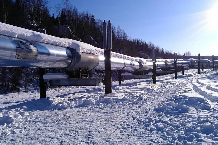
The Trans-Alaska Pipeline crosses the Yukon on the same bridge, alongside the road, at pipeline milepost 353.3. It is one of 13 river bridges on the pipeline system. From the riverbank you can see the pipe running along the span. The pipeline runs 800 miles from Prudhoe Bay to Valdez, and the Dalton Highway follows it the whole way. The Trans-Alaska Pipeline guide explains how and why so much of it sits above ground.
What you do at the Yukon River stop
The stop is short and practical. Your guide parks at Yukon River Camp or a pullout near the bridge, you stretch your legs, take photos of the bridge and the pipeline crossing, and walk down toward the riverbank. In summer, the BLM’s Yukon Crossing Visitor Contact Station on the east side of the road, just north of the bridge, is staffed by volunteers and has a short path to viewing decks on the bank. It is closed in winter, and its hours change from year to year.
Food is the other reason to stop. Several tours plan a meal here:
- The Arctic Circle Day Tour lists lunch as available for purchase at Yukon River Camp.
- The Arctic Circle & Northern Lights – Dalton Highway Tour makes a grocery stop before leaving Fairbanks and eats at Yukon River Camp around 4 to 5 p.m.; you can bring food or buy a meal.
- The summer-season Arctic Circle Adventure – Full-Day Guided Tour crosses the river northbound, then stops again on the way south so you can walk right up to the banks.
- The Arctic Circle Northern Lights Full-Day Trip takes you to the banks of the river and includes sandwiches, snacks and hot drinks.
Meals are excluded on many listings, so budget for food at the camp unless your tour says otherwise. The Arctic Circle tour itinerary shows which tours name the Yukon River among their stops.
The river itself
BLM describes the Yukon as winding nearly 2,000 miles from Canada to the Bering Sea. It rises in British Columbia and reaches the sea at the Yukon–Kuskokwim Delta, and it is the longest river in both Alaska and Yukon Territory. Athabascan people first travelled it in birchbark canoes. Wood-fired sternwheelers later carried gold-rush traffic, and people who live along it today use motorboats in summer and snowmachines in winter.
Yukon River Camp
Yukon River Camp sits just north of the bridge at milepost 56. It has fuel (unleaded and diesel, with the pump switched on by a camp host), a restaurant, 24 rooms and a gift shop. The restaurant runs as the Yukon River Salmon House in summer and the Yukon River Noodle House in winter. It is one of only three places with services on the Dalton in winter, along with Coldfoot and Deadhorse.
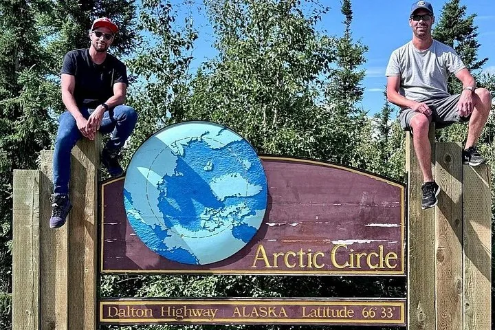
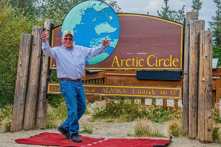
Winter hours are shorter. The camp posted winter hours of 11 a.m. to 11 p.m., with the kitchen open 2 to 10 p.m., and warned of an anticipated kitchen closure on 10 October 2026, or earlier if supplies run low. On a winter tour, check with your operator where you will eat, or bring food. A few miles north, near milepost 60, there is a seasonal roadside cafe and the BLM’s Five Mile Campground. From the river it is another 59 miles to the Arctic Circle sign, with Finger Mountain on the way.
Frequently asked questions
Where is Yukon River Camp in Alaska?
At Dalton Highway milepost 56, just north of the E. L. Patton Yukon River Bridge, about 140 road miles north of Fairbanks.
Is the Yukon River bridge the only bridge over the Yukon?
It is the only bridge over the Yukon in Alaska. Three more road bridges cross the river in Canada’s Yukon Territory.
Can you walk to the Yukon River on an Arctic Circle tour?
On many tours. Some listings mention walking down to the banks, and BLM’s summer contact station has a short path to viewing decks on the riverbank.
Is there food at the Yukon River?
Yukon River Camp has a restaurant, and several tours stop there for a meal you pay for yourself. The kitchen keeps shorter hours in winter and posted a possible closure from 10 October 2026, so ask your operator.
How far is the Yukon River from the Arctic Circle?
59 miles by road, about two hours north on the Dalton Highway.
Ready to book?
The Yukon River is on almost every route. Compare the departures on the Arctic Circle day tours page, or see live availability.
Cross the Arctic Circle This Season
The Dalton Highway by day, the 66°33′ sign by evening and an aurora watch on the drive back to Fairbanks.
Check Availability & Book